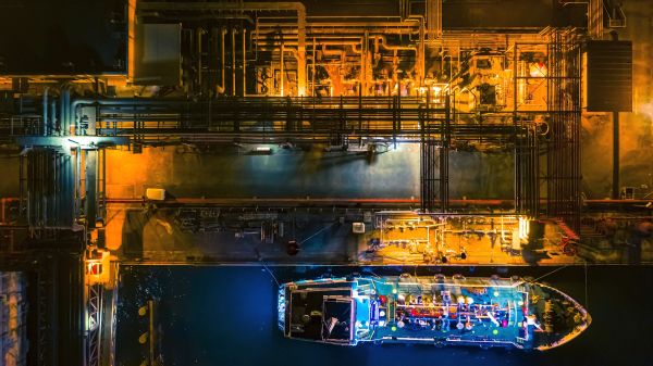
Bringing Oil Smuggling Out of the Shadows
This video debuted at the 2023 Space & Satellite Hall of Fame Celebration.
Sponsored by
In 2017, North Korea shocked the world by launching tests of two ballistic missiles able to cross the Pacific and strike the US. One just missed hitting a commercial passenger flight headed for Tokyo. The UN Security Council slapped a severe penalty on the rogue nation: a limit on the amount of fuel and crude oil it could import. The hope was that, with no oil reserves of its own, North Korea would soon feel the pressure to change its ways.
Except it didn’t. Two years later, the country conducted no fewer than 20 missile tests. What went wrong?
Uncovering North Korea’s Oil Sources

Or is it? A British charity, the Royal United Services Institute, decided to try.
The Institute turned for help to Planet, a leading provider of satellite imagery. The Institute then worked with global security nonprofit C4ADS to review hundreds of images from Planet’s global archive. That painstaking work identified at least 100 oil deliveries that North Korea failed to report to the UN. Overall, the Institute estimated that North Korea imported four times more fuel in a single year than it should have.
Planet Imagery Brings Illegal Activities into the Light
Planet operates about 200 satellites in low Earth orbit. Together, they take pictures and download images of the entire Earth’s landmass every day. Those images proved key to uncovering smuggling in action. They showed big tankers docked in East Asian nations where they legally bought fuel. Out at sea, the ships rendezvoused with smaller tankers and transferred the fuel to them for delivery to North Korean ports, in violation of the law.
Using Planet’s high-resolution images, the Institute was able to identify individual ships. News stories followed, bringing attention to the United Nations investigators – and North Korea found it harder and more expensive to smuggle its way to success.
Year by year, companies like Planet are dispelling the shadows where illegal activity hides. Day by day, satellites bring a bit more of the Earth into the light.

Planet’s Doves, which make up the world’s largest constellation of Earth-imaging satellites, “line scan” the planet to image the entire Earth daily. They launch new satellites into orbit every three or four months. Planet designs and builds its satellites in-house, allowing them to iterate often and pack the latest technology into their small satellites. Complete vertical integration enables Planet to respond quickly to customer needs and perpetually evolve their technology.
Planet’s Mission Control team uses patented automation software to manage their fleet of satellites, allowing just a handful of people to schedule imaging windows, push software in orbit, and download images to 45 ground stations throughout the world. Planet processes and delivers imagery quickly and efficiently. They use the Google Cloud Platform and enable custom processing so that customers can to tap directly into their data, the same way they do. Planet’s data pipeline ensures easy web and API access to Planet’s imagery and archive. They make every scene available as a tile service, composite scenes into mosaics, and build time-sliced mosaics so you can see change over time.
